
USGS Media Alert: USGS crews continue to measure and assess Yellowstone River flood conditions and probabilities
Realtime information available online
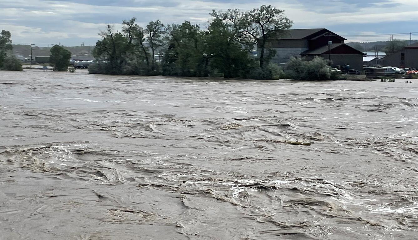
BILLINGS, MT — As devastating floods on the Yellowstone River continue, the U.S. Geological Survey is measuring streamflow and monitoring equipment at streamgages, as well as making repairs caused by flood waters as necessary to ensure data online is as accurate as possible.
These data are essential for partner agencies to estimate downstream flow, as well as analyze results to predict future event probabilities.
Realtime flood and historic data can be found at: USGS | National Water Dashboard
Streamflow data have been collected for around 100 years at three USGS streamgages on the Yellowstone River in southern Montana and can be used to provide probability of events occurring.
“At two streamgages, Yellowstone River at Corwin Springs and Yellowstone River at Livingston, the peak streamflow was higher than the 0.2% (or 1 in 500) flood during the recent flood event,” said Katherine Chase, USGS hydrologist. “While these floods are often referred to as greater than (or rarer than) a 1 in 500-year event, there is the same probability that they could occur in any given year.”
The provisional streamflow recorded on the Yellowstone River at Billings was between the 1% (or 1 in 100) and 0.2% (1 in 500) flood. All streamflow data are currently being reported as “provisional” until follow up analyses of the stream channel and data are completed.
The analyses used to calculate these probabilities uses data that the USGS and others have collected. Other techniques are being developed that use prehistoric data to determine what streamflows were before humans began recording data. These analyses can give more perspective to how rare these types of high flow events are.
More information from the USGS about flood frequencies can be found online.

# # #
USGS provides science for a changing world. Learn more at www.usgs.gov or follow us on Twitter @USGS, Instagram @USGS, or Facebook @USGeologicalSurvey
Get Our News
These items are in the RSS feed format (Really Simple Syndication) based on categories such as topics, locations, and more. You can install and RSS reader browser extension, software, or use a third-party service to receive immediate news updates depending on the feed that you have added. If you click the feed links below, they may look strange because they are simply XML code. An RSS reader can easily read this code and push out a notification to you when something new is posted to our site.