
Airport Inspection

Wildlife Observation

Fuel Inspection

Work Order Management

Lease Management
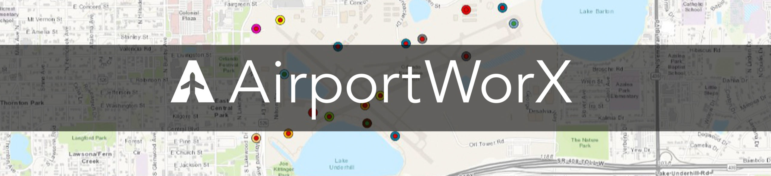
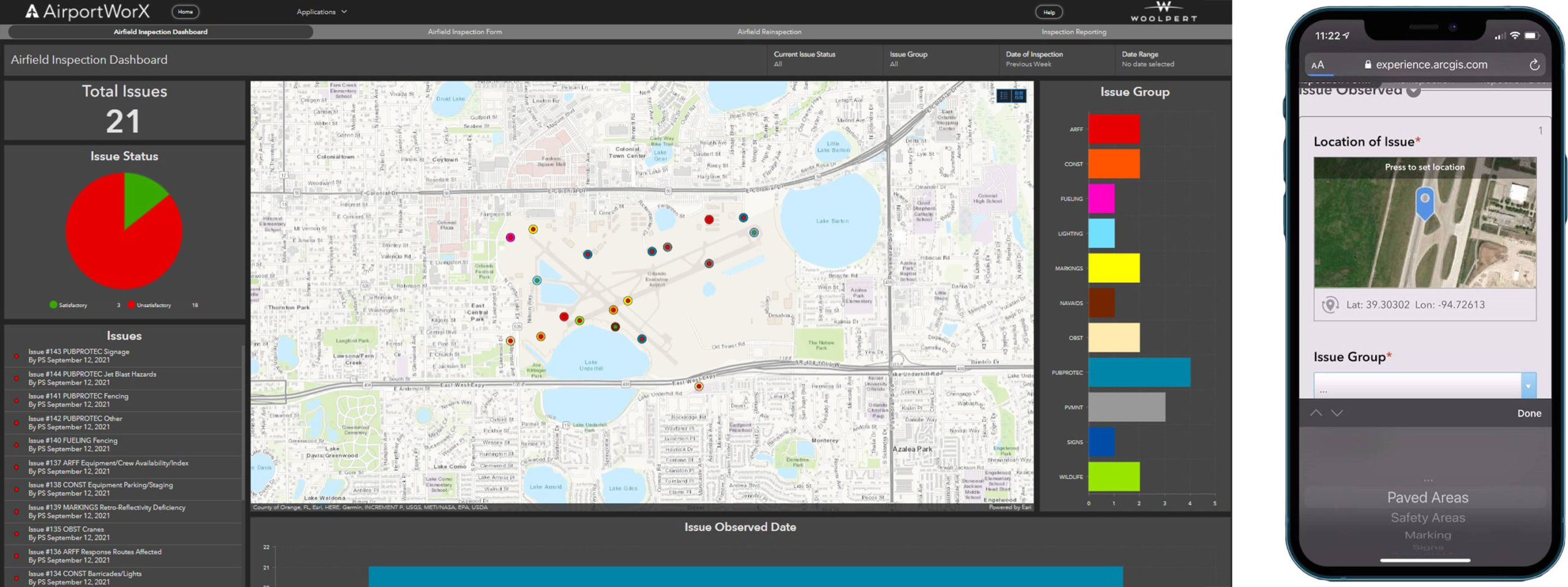
Powered by the latest Esri technology and developed by Woolpert, AirportWorX® addresses the operations, maintenance and regulatory compliance needs of general aviation, small commercial, Part 139 and non-Part 139 airports. With five easy-to-use modules in a single application, AirportWorX features dashboards for quick analysis, automated forms for data collection, and custom reports for inspections, wildlife and fueling. AirportWorX also makes work order and lease management a breeze using map-based interfaces.
AirportWorX gives smaller airports the same kind of GIS power that large commercial airports use to streamline day-to-day operations. With both desktop and mobile versions, AirportWorX enables field staff to work from virtually anywhere to optimize field operations, help airports better understand their data, and more easily communicate and manage necessary actions.
AirportWorX applications are subscription-based and include 40 hours of support service, which takes users from training through configuration. AirportWorX does not require any additional software or IT support, making it an ideal management tool for airports with limited budgets.
Features
- Color-coded visual analytics
- Desktop and mobile versions
- Document and image uploads
- Downloadable reports
- Full customization
- Issue tracking
- Restricted security access
- Robust asset detail cards
Benefits
- Allows collaboration using real-time data
- Cost-effective
- Improves data analytics
- Promotes regulatory compliance
- Simplified management
To request a demo or to purchase, email airportworx@woolpert.com. You can also purchase on the
Esri ArcGIS marketplace.